Log in
All resources
Create a design
9,296 Free Artworks of Map Collection
bibliothèque nationale de france
eran laor cartographic collection
joan blaeu
copper engraving print
british library
latin-language maps
maps by willem and johannes blaeu
paper
british museum
1667 maps
maps by willem and johannes blaeu
maps made in the 17th century
maps by willem and johannes blaeu
maps made in the 17th century
maps of alsace by guillaume sanson
1690s maps of baden-württemberg
cartes generales de toutes les parties du monde (1658)
1650s maps of saxony
the british monarchy (1743)
maps in the british museum
maps by willem and johannes blaeu
maps made in the 17th century
maps made in the 17th century
old maps of upper austria
18th-century maps of rutland
maps in the british museum
maps of alsace by guillaume sanson
1660s maps of alsace
maps of alsace by guillaume sanson
1690s maps of baden-württemberg
17th-century maps of malta
maps by gerard valck
maps of alsace by guillaume sanson
1660s maps of baden-württemberg
maps by willem and johannes blaeu
maps made in the 17th century
the british monarchy (1743)
maps in the british museum
maps of alsace by guillaume sanson
1660s maps of alsace
everett d. graff collection of western americana
maps of the united states
1651 maps of baden-württemberg
house of helfenstein
maps of the byzantine levant
1650s maps showing history
guillaume-nicolas delahaye
jacques martin
19th-century portrait paintings in the palace of caserta
carlo de falco
john rocque's 1748 map of london and adjacent country
maps in the british museum
paintings in the museo correr
gian battista arzenti
1878 maps of europe
augusto grossi
maps in the stadsarchief amsterdam
die grund-regeln der bau-kunst
bibliothèque nationale de france
maps by tomas lopez
maps from gallica
guides joanne
media from the national library of finland
classicism
turgot map of paris, david rumsey historical map collection – derivative files
collège des quatre-nations
turgot map of paris, david rumsey historical map collection – derivative files
historical images of the hôpital de la pitié-salpêtrière
map collection of leibniz-institut für länderkunde
maps of limburg by aegidius martini
map collection of leibniz-institut für länderkunde
maps of limburg by aegidius martini
maps from university of amsterdam special collections
atlas der neederlanden
maps from university of amsterdam special collections
atlas der neederlanden
paintings by christoph bernhard francke in the herzog anton ulrich-museum
portrait paintings in the herzog anton ulrich-museum
maps of paris from paris musées
baroque
atlas maior, vol 6 (scotland and ireland) - joan blaeu, 1667 - bl 114.h(star).6
1667 maps
maps by pieter mortier
maps from gallica
new bern, north carolina
solon m. allis
eran laor cartographic collection
carl heinrich beichling
eran laor cartographic collection
franz nikolaus rolffsen
eran laor cartographic collection
guillaume sanson
maps by emanuel bowen
1740 maps
1750s maps of the caribbean
maps by thomas kitchin
eran laor cartographic collection
giovanni marco pitteri
john rocque's 1748 map of london and adjacent country
bibliothèque nationale de france
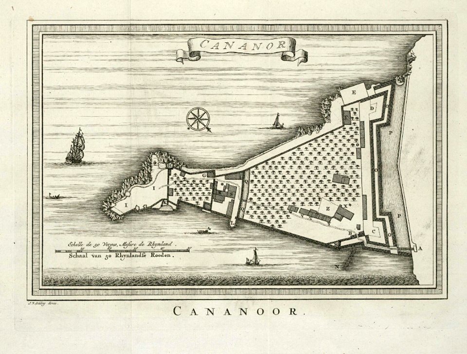
maps of the dutch east india company - india
historical images of st. angelo fort
maps of the dutch east india company - south africa
1753 maps of africa
maps of the dutch east india company - mauritius
1753 maps of africa
maps of the dutch east india company - sri lanka
1787
old maps of plymouth and devonport
16th-century maps of england
1730s maps of the americas
1730s maps
17th-century maps of luxembourg
maps by pieter van der keere
thomas milton
1739 maps
maps of the firth of forth
old maps of fife
maps by willem and johannes blaeu
robert gordon of straloch
atlas maior, vol 11 (asia) - joan blaeu, 1667 - bl 114.h(star).11
1667 maps
atlas maior, vol 10 (spain and africa) - joan blaeu, 1667 - bl 114.h(star).10
1667 maps
atlas maior, vol 10 (spain and africa) - joan blaeu, 1667 - bl 114.h(star).10
1667 maps
atlas maior, vol 9 (italy) - joan blaeu, 1667 - bl 114.h(star).9
1667 maps of italy
atlas maior, vol 4 (netherlands) - joan blaeu, 1667 - bl 114.h(star).4
1667 maps
atlas maior, vol 6 (scotland and ireland) - joan blaeu, 1667 - bl 114.h(star).6
1667 maps
romanticism,neoclassicism
jacques nompar de caumont
eran laor cartographic collection
joan blaeu
eran laor cartographic collection
william henry toms
eran laor cartographic collection
willem blaeu
eran laor cartographic collection
joan blaeu
eran laor cartographic collection
willem blaeu
eran laor cartographic collection
emanuel bowen
eran laor cartographic collection
gerard de jode
eran laor cartographic collection
gerard de jode
eran laor cartographic collection
edward rooker
historical collections of the state of new jersey (1852)
1850s maps of new jersey
atlas vingboons
1665
geographia universalis (1545) in the british museum
german renaissance,northern renaissance
geographia universalis (1545) in the british museum
german renaissance,northern renaissance
maps by willem and johannes blaeu
17th-century maps of bermuda
old maps of the northern hemisphere
1800s maps of the world
turgot map of paris, kyoto university library
plan de turgot
map of the circle of austria by sanson
1700s maps of austria
map of the circle of the rhineland by sanson
1730s maps of rhineland-palatinate
maps of wissembourg by braun & hogenberg
maps of rouffach by braun & hogenberg
atlas maior, vol 2 (sweden, russia, poland, eastern europe, and greece) - joan blaeu, 1667 - bl 114.h(star).2
17th-century maps of scandinavia
führer durch dalmatien (1899)
salona
maps in the stadsarchief amsterdam
hendrik de leth
18th-century maps of bretagne
robert cordier (engraver)
maps in the british museum
maps of naval battles
old maps of genoa
nicolò armanino
antoine-françois tardieu
maps from gallica
antoine-françois tardieu
maps from gallica
old maps of genoa
nicolò armanino
maps in the stadsarchief amsterdam
maps by carolus allard
maps in the stadsarchief amsterdam
maps by carolus allard
library of congress artist posters collection
harper's magazine posters, 1895
lawrence h. slaughter collection of english maps, charts, globes, books and atlases
covens en mortier
beschreibung der städt der welt - braun & hogenberg - btv1b52512111k
maps of mons (hainaut) by braun & hogenberg
eran laor cartographic collection
louis-françois cassas
eran laor cartographic collection
michel van lochom
eran laor cartographic collection
jacques chereau
old maps of namur (province)
1640s maps of belgium
old maps of hainaut (province)
1590s maps of belgium
3101 - 3200 of 9,296
Next page
/ 93